
West Coast Storms: Surf, Snow and Flood Prep
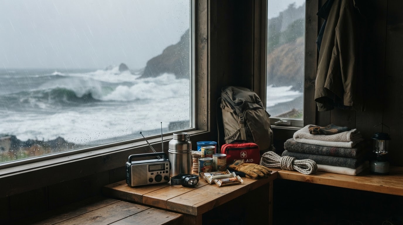
Atmospheric rivers are hitting Washington, Oregon and California with 30-foot surf, Sierra snow and flood risk through Thursday. Here is what to do now.
This article contains affiliate links. If you buy through these links, we may earn a small commission at no extra cost to you.
A line of Pacific storms is working over the West Coast right now, and it is not a one-day rain. An atmospheric river made landfall in California on Sunday, and the second in the series arrives late Tuesday and runs through Thursday, according to the Center for Western Weather and Water Extremes outlook for November 16. Three states share this one: Washington, Oregon, and California. The threats stack by location. Destructive surf on the coast, flooding on low roads and small rivers, heavy snow in the Sierra, and winds that can drop power in the middle of it all.
The coast is already taking hits. The National Weather Service office in Medford warned of breaking waves peaking at 25 to 30 feet early Monday on the south-central Oregon coast, reaching places that are normally dry. Around San Francisco and Monterey Bay, breakers ran 20 to 25 feet with sets to 35 feet at favored spots. Los Angeles County beaches built toward 15 to 18 feet with local sets to 20 feet, plus minor flooding in low beach lots. In Santa Cruz County, the sheriff issued evacuation warnings Friday for low pockets around Capitola Village and Rio Del Mar because rising water could cut off emergency access. Inland, the Skokomish River at Potlatch in Mason County, Washington sat under a flood warning for minor flooding and fast water over valley roads.
What forecasters expect through Thursday
The second storm is the one to plan around. It makes landfall late Tuesday and pushes moderate to heavy rain and mountain snow across much of California into Thursday, rated an AR 1 for coastal northern and central California. Expect 2 to 5 inches of precipitation over the Sierra Nevada and the northern and central Coast Ranges and 1 to 2 inches along the southern California coast. Freezing levels stay low enough for real snow up high, with 12 to 30 inches in the higher Sierra between early Wednesday and early Thursday. The Weather Prediction Center carries a slight risk of excessive rainfall across much of coastal California from Wednesday into Friday.
The same system spreads showers and mountain snow into Nevada, Arizona, and Utah by Tuesday, with a marginal flash-flood risk for parts of central and northern Arizona, southern Nevada, and southern Utah. Washes, slot canyons, and burn scars deserve the same respect as any flooded crossing. Forecasters also see a possible stronger atmospheric river between Washington and central California around November 23 to 25. Timing is still uncertain, so keep gear staged rather than changing Thanksgiving plans today.
Who feels it first
People on or near the water lead the list. If you live behind a beach lot, a harbor walkway, a tidal road, or a creek that jumps its banks in a normal winter, check drains, move cars, and know your second way out. Drivers come next, especially on roads that pond in the first hour of heavy rain. Mountain travelers follow, with Sierra passes going wintry midweek. Anyone on a sump pump or medical gear that needs wall power should assume a brief outage is possible. Pacific Power put crews on standby in Oregon and warned of possible outages as winds arrive with the rain.
Coast: give the surf a wide berth
Big surf kills by surprise. Sneaker waves run farther up the beach than the last several waves suggested, and logs in the foam hit hard. Stay off beaches, jetties, and rocks while high surf warnings and advisories stand. Keep dogs leashed well back from the waterline and never turn your back on the ocean for a photo. Move cars out of lots that flood in a normal king tide. Our flood safety guide covers the full before, during, and after sequence if water reaches streets and garages.
A weather radio that runs without wall power earns its shelf space in weeks like this. Alerts go out at night and cell coverage drops near the coast at the worst moments.
Inland water: treat every flooded road as closed
Six inches of fast-moving water can knock an adult down, and 12 inches can carry a car, per the National Weather Service flood safety page. Turn around, do not drown, and never drive around barricades. At night in heavy rain you cannot tell whether pavement is still under the water.
If water rises toward your place, cut power to wet areas only from a dry breaker panel. Move chemicals and fuel up off garage floors. Photograph rooms and high-water marks from dry ground before you clean, because adjusters work from that record. Ready.gov makes the same points on its floods page. Our sandbag stacking guide shows where a short wall diverts water and where it only filters it.
Empty Sandbags 14x26 in Woven Poly with Ties, 50…
Mountains and passes: let Wednesday pass without you
The Sierra does its worst work between early Wednesday and early Thursday, with snowfall rates that bury lane markings fast. If your route crosses the passes, go Tuesday or wait until Friday. Check chain controls before you commit, tell someone your route and expected arrival, and pack like an overnight is possible: warm layers, water, food, a car charger, and a full tank before the grade. No cruise control on wet or icy pavement, long following gaps, and slow inputs.
If traffic stops for hours or you slide off, stay with the car, keep the tailpipe clear of snow, and run heat in bursts with a window cracked. Our winter storm survival guide carries the full November through March list.
Power: charge now, keep food safe
Wind plus soaked soil drops limbs and poles. Charge phones, laptops, battery banks, and medical devices today. Turn the fridge and freezer to their coldest settings so food holds longer. Save your utility outage number outside your phone. Ready.gov's power outage page covers the same basics.
Anker Power Bank 10,000mAh USB-C
If power fails, keep fridge and freezer doors closed and toss perishables that sit above 40 degrees for more than two hours. Run generators outside only, at least 20 feet from the house with exhaust pointed away. Our power grid failure guide walks through the first hour in order.
After Thursday: leave the kit staged
This series fades late in the week, but another weak system may brush the northern coast this weekend, and the Thanksgiving-week signal keeps appearing in the ensembles. Leave the sandbags stacked, the bank charged, the radio on the counter, and the car kit in the trunk.