
Florida Flood Watch: Up to 12 Inches Through Friday
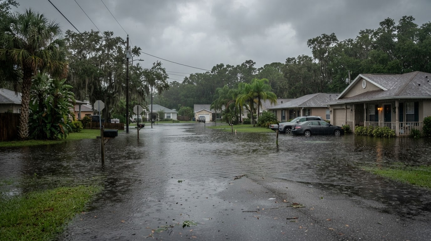
Flood watches run Miami to Jacksonville through Friday with 3 to 6 inches and local 8 to 12 inch totals on soaked ground. Who is affected and what to do now.
This article contains affiliate links. If you buy through these links, we may earn a small commission at no extra cost to you.
Flood watches cover nearly the whole Florida east coast from Tuesday afternoon through Friday, and the ground they fall on is already soaked. The National Weather Service offices in Miami, Melbourne, and Jacksonville all have watches up, with widespread 3 to 6 inches of rain and localized 8 to 12 inch totals near the coast. The Weather Prediction Center puts the Space and Treasure Coasts under a moderate risk of excessive rainfall on Wednesday, its second-highest tier, which is the day to take most seriously.
This is a watch, not a warning. A watch means flooding is possible in the area. A warning means it is happening or about to happen. With saturated soil from the early November storms, the step from one to the other can be short, so use today to get ready.
Who is affected and when
The watches stack across three NWS offices:
- Southeast Florida (NWS Miami): Miami-Dade, Broward, and Palm Beach counties through Thursday evening. Expect 2 to 4 inches through Thursday with higher 6 to 8 inch pockets and isolated totals over 10 inches possible, falling at 1 to 2 inches per hour in the heaviest storms. Read the Miami area forecast discussion for updates.
- East-central Florida (NWS Melbourne): Volusia, Seminole, Orange, Osceola, Okeechobee, Brevard, Indian River, St. Lucie, and Martin counties through Friday evening. Forecasters expect repeated rounds of showers and storms with 3 to 6 inches and localized 8 to 12 inches, highest near the coast.
- Northeast Florida (NWS Jacksonville): Flagler, St. Johns, and parts of Duval, Clay, and Putnam counties through Friday evening, with 3 to 8 inches and locally higher amounts up to 12 inches or more. The full watch text is on the NWS watch page.
The heaviest rain lands Wednesday evening through Friday. Coastal communities east of I-95 carry the highest totals, and Volusia County notes a small but real chance of isolated 16-inch totals. Add gusty northeast winds at 25 to 35 mph, a high surf advisory, and life-threatening rip currents at east-coast beaches, and this is a stay-off-the-water week. See the NWS flood safety page and Ready.gov floods for the official guidance behind every step below.
Saturated ground is doing quiet work here. St. Lucie County crews are still clearing drains and lowering water after the early November flooding, and the county warns that lighter rain can flood faster on this soil. Brevard County is handing out free prefilled sandbags today, and Daytona Beach has a Tuesday and Wednesday handout at Bethune Point Park. Indian River County sits at partial emergency activation with flooding still on the ground in places. If your street flooded two weeks ago, treat this watch as your warning.
What to do now, Tuesday
Clear the path for water first. When it is safe to go outside, pull leaves and debris off your private drains and gutters, roll up rugs on slab floors, and move valuables, papers, and anything that cannot get wet to a higher shelf. Renters in ground-floor units should lift electronics off the floor and bag documents now rather than during a band.
Stage your barrier if you have one. If your home or street ponds in heavy rain, pick up sandbags this afternoon before the heaviest rain arrives midweek. Stack them half full like brickwork across doorways and garage entries, and keep the plastic sheeting, tape, and work gloves with them. Our sandbag stacking guide walks the layout that holds. Empty Sandbags 14x26 in Woven Poly with Ties, 50… A 50-pack of empty woven bags runs about $20.99; fill them with local soil and you have a reusable barrier for the doors that always take water first.
Park and drive like the roads will lie to you. Move cars to higher ground before dark, and never drive through standing water: Ready.gov notes six inches of moving water can knock a person down and a foot can sweep a vehicle away. Martin County has high-water rescue vehicles staged in flood-prone spots, which tells you how fast deputies expect some roads to go. If your normal route home floods, take another road or wait it out somewhere safe, and never drive around a barricade.
Charge everything while the grid is normal. Top off phones, battery banks, and rechargeable lights today, and keep one radio that does not need the cell network. Anker Power Bank 10,000mAh USB-C The Anker 10,000mAh bank at about $25.99 covers several phone charges when an outage or a long night of alerts drains the family phones. Know how your county talks to you: the Volusia Emergency Management app pushes severe weather alerts free, and Indian River County runs an Emergency Information Center line during flood events.
Wednesday through Friday: ride out the peak
Expect rounds of torrential rain with lightning and gusts to 30 to 45 mph, worst Wednesday evening into Friday. Limit travel during the bands, keep kids and pets out of floodwater, and stay off bridges over fast-moving water. If water rises around you, move to higher ground right away. If officials tell you to evacuate, go. If you are trapped in a building, take the highest floor, and only go to the roof if you must, then signal for help.
Set an early-warning ear inside the house. A small alarm near the sump pit, water heater, or washer sounds off before a soaked floor becomes a ruined one. The Basement Watchdog 110 dB Water Alarm (BWD-HWA) The Basement Watchdog alarm at about $13.69 puts a 110 dB sensor on a 6-foot cord exactly where water shows up first. Our flood safety guide covers the full before, during, and after sequence in one place.
Keep a simple kit where you can grab it: drinking water, food that needs no cooking, medicines, flashlights, phone chargers, pet supplies, and cash in small bills. Our flood emergency kit checklist lists the whole loadout with quantities. If your tap water pressure drops or officials issue a boil notice during the storm, boil for a full minute or use bottled water until they lift it.
After the water drops
Wait for the official word before going home, then photograph everything before you clean. Floodwater can hide debris, carry contamination, or sit charged from a downed line, so stay out of it, keep children and pets clear, and wear gloves and boots for cleanup. Dry the house within 24 to 48 hours to hold down mold, and toss food that touched floodwater. If you carry flood insurance, file early: homeowner policies usually do not cover flooding, and the claim starts with the photos you took first. Our insurance and documentation walkthrough shows the 20-minute inventory that makes the claim smoother.
One last habit for the week. Verify before you share. Flood weeks breed old videos passed off as live and fake aid links that harvest card numbers. Check warnings at the Weather Service and your county emergency page, type addresses yourself instead of tapping message links, and send the neighbor the forecast, not the rumor.
Frequently asked questions
Which counties are under the flood watch?
Most of the east coast: Miami-Dade, Broward, and Palm Beach through Thursday evening, and Volusia, Brevard, Indian River, St. Lucie, Martin, Flagler, and St. Johns plus parts of northeast Florida through Friday evening. Check current NWS warnings before you travel.
How much rain is expected?
Widespread 3 to 6 inches along the east coast with localized 8 to 12 inch totals near the coast. The Weather Prediction Center rates Wednesday a moderate risk of excessive rain for the Space and Treasure Coasts, so totals can shift with each band.
I flooded earlier this month. Is this round worse for me?
Soaked ground is the extra risk. St. Lucie County and parts of Brevard are still saturated from the early November storms, so lighter rain can pond faster there. If your street flooded before, stage sandbags and move valuables early rather than waiting for a warning.